android app · free · optional pro
Got Stereo 70 coordinates from a Romanian cadastral plan or land-registry extract? The app converts them to GPS latitude and longitude and opens the point straight in Google Maps or Waze.
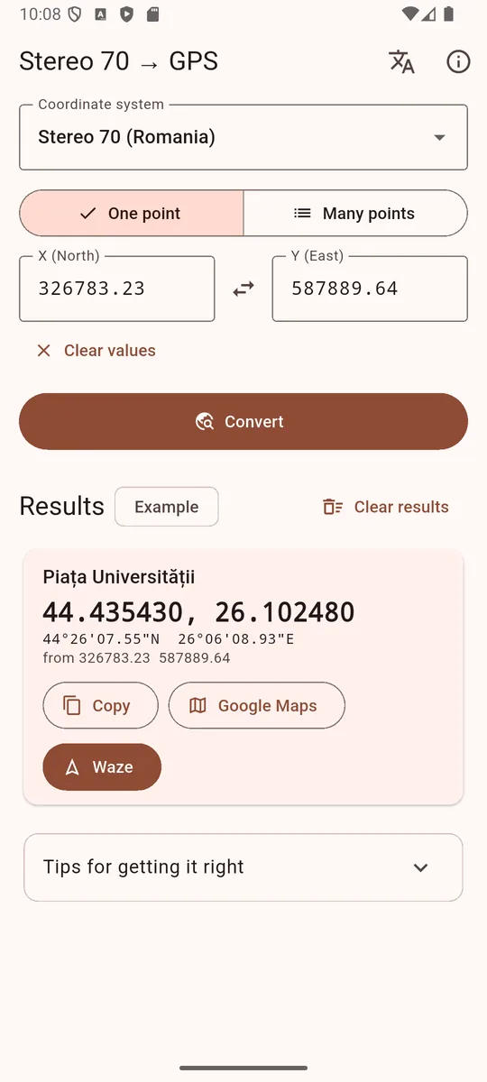
Enter X and Y as they appear on the plan, tap Convert, and get a point on the map. No account, no ads.
Every result has buttons that open the point in Google Maps or start navigation in Waze.
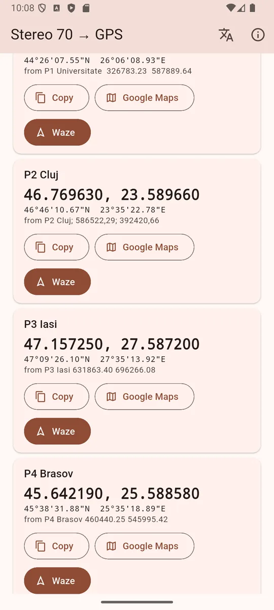
Paste every point from the plan or from Excel, one per line, with an optional name. Spaces, tabs, “;” and decimal commas all work.
In Romanian surveying X is North and Y is East. If a point lands outside Romania, the app tries the swapped order and tells you.
Stereo 70 (EPSG:3844), UTM 34N and 35N, or latitude/longitude. Results show in decimal degrees and degrees-minutes-seconds.
The math runs on your phone, with no internet needed. The app collects no data; on start it only checks Google Play for a new version. Only the Pro map needs internet.
Copy one point's coordinates, or all points as CSV, ready to paste into an email, Excel or another app.
Converting, point lists, Google Maps and Waze stay free. Stereo70 GPS Pro opens the survey drawing right on your phone and shows the parcel on the satellite map.
Open the plan directly as DWG (AutoCAD R13–2018) or as DXF from any CAD program. The app reads polylines, lines and points (with their numbers) and detects Stereo 70 or UTM by itself.
The parcel outline over satellite imagery, with numbered corners, area, perimeter and your location, so you can find the markers on site.
Send the outline as a KML file to Google Earth, Google My Maps or OsmAnd. Every corner also opens in Google Maps or Waze.
40 lei
250 lei
Easiest: right in the app, through Google Play. Tap PRO (top bar) and choose 1 year – 39.99 lei (renews yearly, cancel any time in Google Play → Payments & subscriptions) or Lifetime – 249.99 lei (one payment). Pro starts right away; on a new phone tap “Restore purchases”.
Need a company invoice? Buy an activation code by email:
Write to factura@ess-tech.ro (or tap a button above) with your name, the plan and, for a company invoice, the company details.
You get the invoice by email and pay it.
After payment you receive an activation code that starts with “STEREO70-”.
In the app tap PRO (top bar), paste the code and tap Activate.
One code works on one phone. Activation needs internet once; the satellite map needs internet, but DWG/DXF import and conversions work offline. Reinstalling on the same phone? Paste the same code. Moving to a new phone? Remove the code from the old one (PRO → “Remove the code from this phone”) and activate it on the new one. Lost your code? Write to factura@ess-tech.ro and we will resend it.
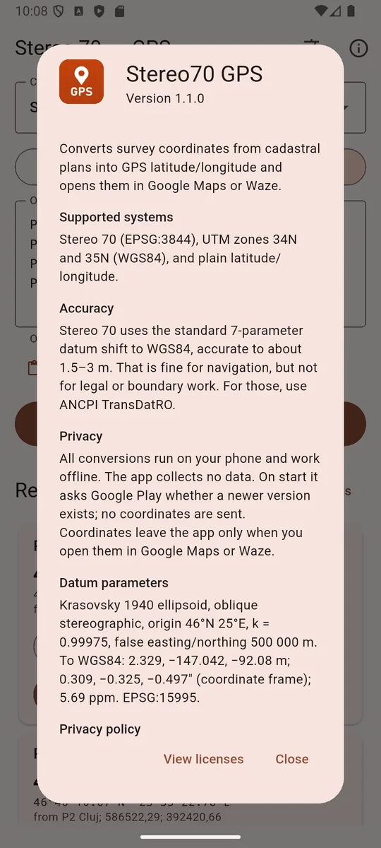
The app uses the official 7-parameter transformation EPSG:15995 from the Pulkovo 1942(58) datum to WGS84. Its results match the PROJ library (used by QGIS) to within 1 cm.
Real-world accuracy is about 1.5–3 m, enough for navigation and for finding a plot of land. For legal work or property boundaries, use ANCPI's TransDatRO.
Some online converters skip the datum shift and land about 150 m off. That is usually why another tool gives a different result.
$ stereo70 326783.23 587889.64
X (north): 326783.23
Y (east) : 587889.64
lat      : 44.435430  44°26'07.55"N
lon      : 26.102480  26°06'08.93"E
place    : ● University Square, Bucharest
 ESS